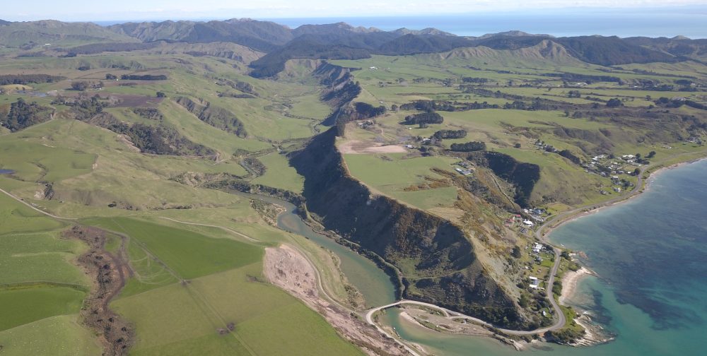
Why a stream bank monitoring programme ?
This monitoring programme was developed in order to record :
– stream bank change (gradiant, course etc.) over time in a retired area with no stock access.
– Vegetation development and growth in the newly planted area.
Protocol :
The protocol consists in taking every year in January a series of photos at 2 different photo points identified and GPSed. A protocol has been developped for each site including bearing, frame, angle etc for consistency in the monitoring. These sites are located above the stream level to allow a better view point over time. Photos are laminated and stored for records and further analysis
